Where nature speaks — and data delivers
Real-time biodiversity monitoring that empowers those building our future — turning environmental uncertainty into operational confidence.
'%3e%3cpath%20id='Pfad_214'%20data-name='Pfad%20214'%20d='M1020.39,35.847h57.462l23.585,37.1L1051.8,91.828Z'%20transform='translate(-160.379%20-0.013)'%20fill='%23003878'/%3e%3cpath%20id='Pfad_215'%20data-name='Pfad%20215'%20d='M865.9,35.823h69.868L967.14,92.235l-66.879,25.588Z'%20transform='translate(-77.065)'%20fill='%23003878'/%3e%3cpath%20id='Pfad_216'%20data-name='Pfad%20216'%20d='M1147.917,35.833l23.567,36.751,28.655-10.319-18.811-26.4Z'%20transform='translate(-229.149%20-0.005)'%20fill='%23003878'/%3e%3cpath%20id='Pfad_217'%20data-name='Pfad%20217'%20d='M722.989,66.276V83.362H741.3v-3H726.261V75.972h10.02v-3h-10.02V69.276h14.4v-3Z'%20transform='translate(0%20-16.409)'%20fill='%23c7c8c8'/%3e%3cpath%20id='Pfad_218'%20data-name='Pfad%20218'%20d='M798.444,83.362h-4.966l-11.6-14.251V83.362h-3.333V66.277h4.964l11.6,14.258V66.277h3.331Z'%20transform='translate(-29.959%20-16.409)'%20fill='%23c7c8c8'/%3e%3cpath%20id='Pfad_219'%20data-name='Pfad%20219'%20d='M857.711,80.359H842.669V75.972h10.02v-3h-10.02V69.276h14.4v-3H839.335V83.362h18.376Z'%20transform='translate(-62.742%20-16.409)'%20fill='%23c7c8c8'/%3e%3cg%20id='Gruppe_3156'%20data-name='Gruppe%203156'%20transform='translate(802.95%2049.867)'%3e%3cpath%20id='Pfad_220'%20data-name='Pfad%20220'%20d='M916.272,71.694a5.09,5.09,0,0,0-1.612-3.944,6.16,6.16,0,0,0-4.327-1.473H896.54V83.362h3.329V77.082h8.48l4.465,6.279h3.818l-4.607-6.475q4.246-.941,4.246-5.194m-3.414.056q0,2.332-3.026,2.333h-9.963V69.276h9.77q3.216,0,3.219,2.473'%20transform='translate(-896.54%20-66.276)'%20fill='%23c7c8c8'/%3e%3cpath%20id='Pfad_221'%20data-name='Pfad%20221'%20d='M974.63,71.694a5.084,5.084,0,0,0-1.61-3.944,6.158,6.158,0,0,0-4.328-1.473H954.9V83.362h3.333V77.082h9.905a7.318,7.318,0,0,0,4.815-1.4,4.9,4.9,0,0,0,1.678-3.986m-3.414.056q0,2.332-3.023,2.333h-9.962V69.276H968q3.218,0,3.218,2.473'%20transform='translate(-928.011%20-66.276)'%20fill='%23c7c8c8'/%3e%3c/g%3e%3cpath%20id='Pfad_222'%20data-name='Pfad%20222'%20d='M1023.34,83.361l-9.3-17.085h-4.136l-9.3,17.085h3.67l1.962-3.668h11.469l1.965,3.668Zm-7.3-6.668h-8.14l4.084-7.568Z'%20transform='translate(-149.711%20-16.409)'%20fill='%23c7c8c8'/%3e%3cg%20id='Gruppe_3157'%20data-name='Gruppe%203157'%20transform='translate(879.615%2049.312)'%3e%3cpath%20id='Pfad_223'%20data-name='Pfad%20223'%20d='M1082.671,71.694a5.091,5.091,0,0,0-1.611-3.944,6.17,6.17,0,0,0-4.329-1.473h-13.791V83.362h3.33V77.082h8.475l4.469,6.279h3.814l-4.6-6.475q4.243-.941,4.246-5.194m-3.414.056q0,2.332-3.027,2.333h-9.961V69.276h9.766q3.226,0,3.222,2.473'%20transform='translate(-1062.939%20-65.72)'%20fill='%23c7c8c8'/%3e%3cpath%20id='Pfad_224'%20data-name='Pfad%20224'%20d='M1127.56,65.071a12.66,12.66,0,0,1,10.238,4.668l-3.052,1.056a9.479,9.479,0,0,0-6.967-2.723,9.231,9.231,0,0,0-5.8,1.676,5.5,5.5,0,0,0,0,8.745,9.383,9.383,0,0,0,5.855,1.663,9.268,9.268,0,0,0,6.969-2.777l2.859,1.529a14.1,14.1,0,0,1-18.166,1.706,8.226,8.226,0,0,1,.431-13.265,12.563,12.563,0,0,1,7.633-2.278'%20transform='translate(-1091.738%20-65.071)'%20fill='%23c7c8c8'/%3e%3c/g%3e%3c/g%3e%3c/svg%3e)








Our solution
Introducing: The most comprehensive biodiversity monitoring
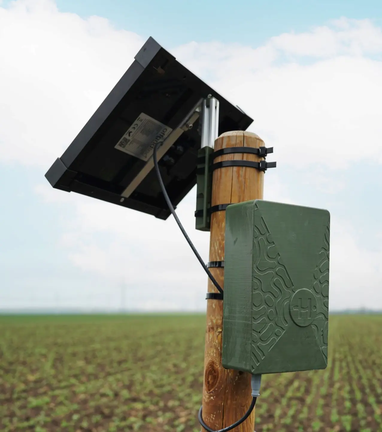
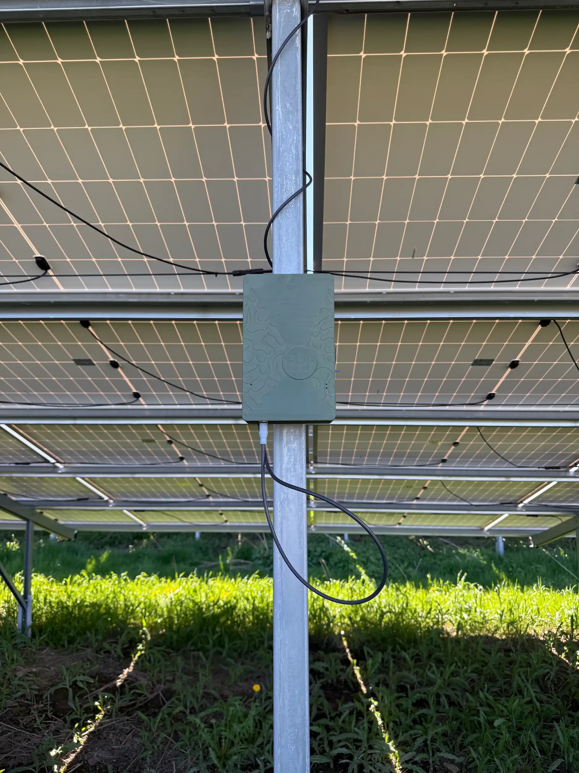
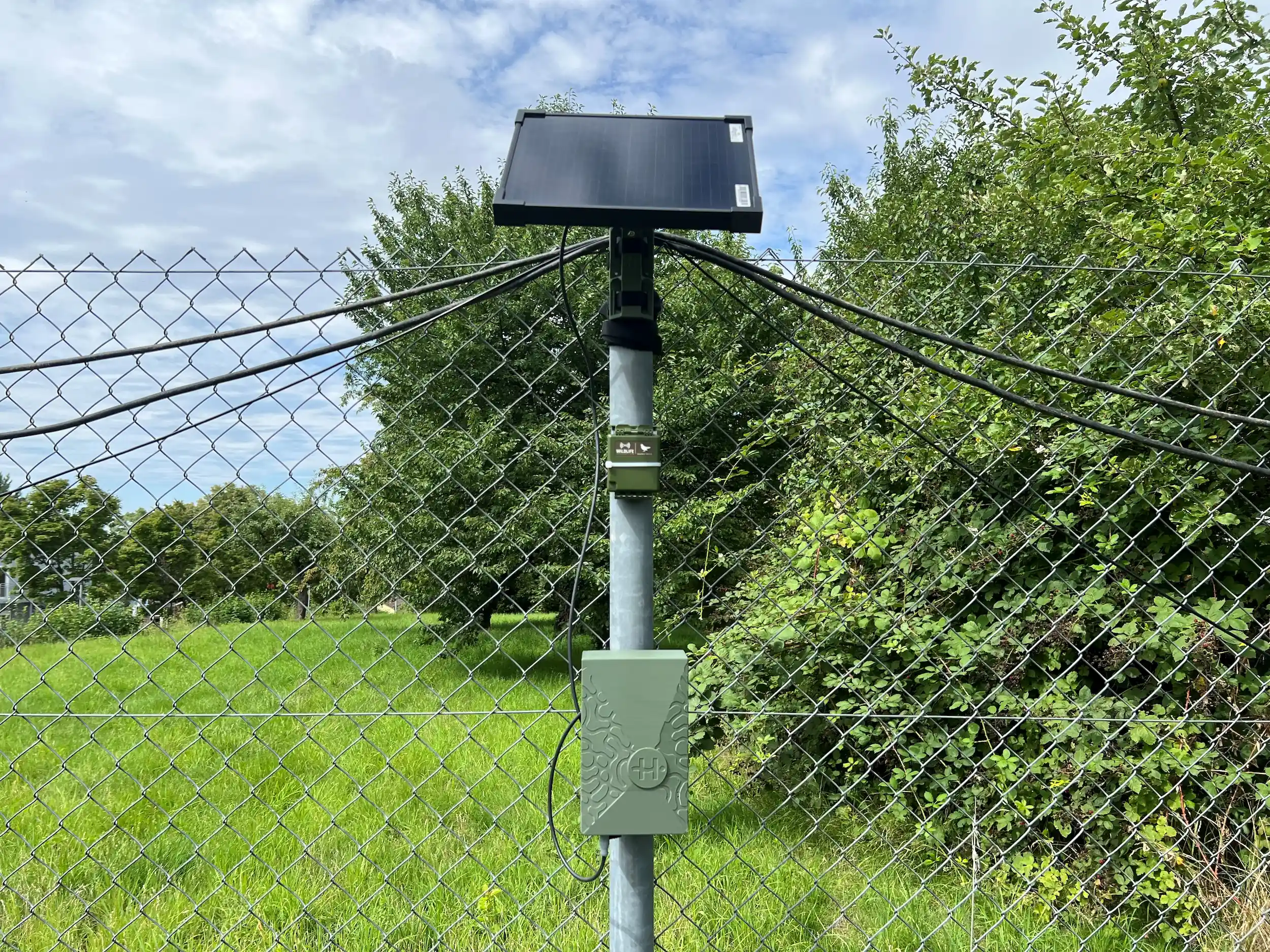
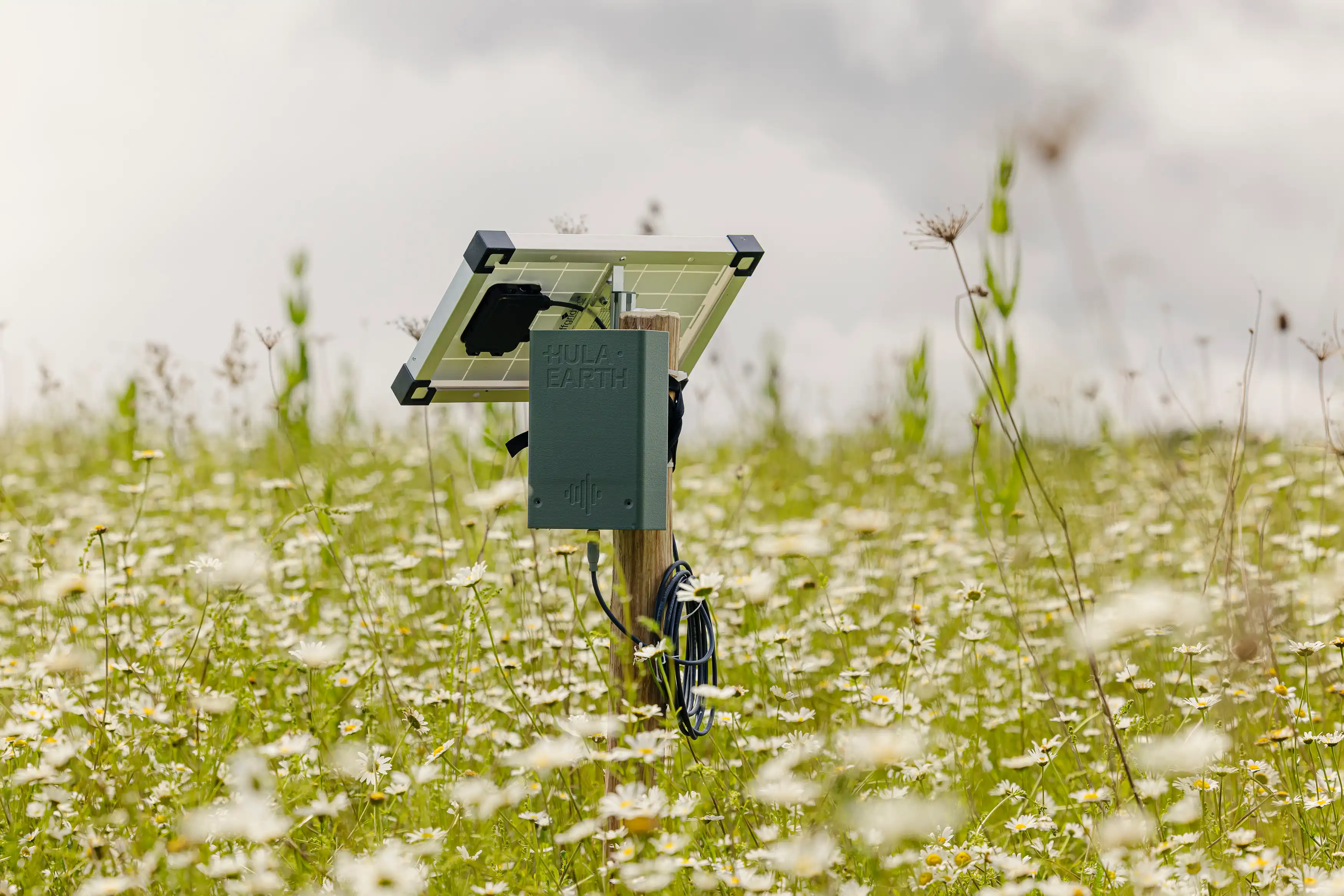
Looks like a hidden gem? Well, almost. This is the Hula BioT — a low-cost, low-power, long-range IoT device.
Our products
How do we measure nature?
Hula stands at the forefront of advanced, data-driven monitoring, reporting, and verification (MRV) solutions, instilling confidence in every phase of environmental monitoring.
Solar-powered IoT for real-time species detection
Hula BioT sensors on-site
Our BioT sensors revolutionize biodiversity monitoring with AI-powered species detection directly on the device. Solar-powered and maintenance-free — no SD cards, no battery charging — they deliver real-time, privacy-compliant data from remote locations. Fully autonomous and scalable: turning ecosystem protection into measurable action.
Explore the technologySatellite data + AI analytics
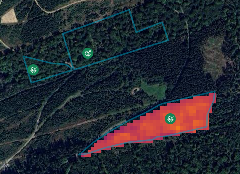
Earth observation
Our earth observation layer combines high-resolution satellite imagery with real-time field data to deliver scalable, accurate biodiversity insights across entire landscapes — empowering you to monitor, report, and protect ecosystems with unmatched precision.
Explore the technology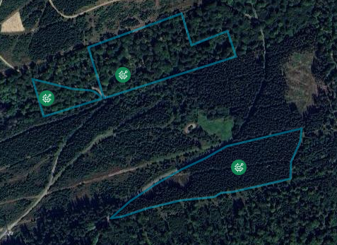
The Hula Platform - one dashboard for data, management & compliance
Monitor, manage, and report
with your biodiversity cockpit
The Hula Platform gathers and integrates real-time data from our on-site sensors with satellite imagery to provide comprehensive biodiversity insights. It provides you with actionable data to drive informed strategies and sustainable land management practices.
Explore the technology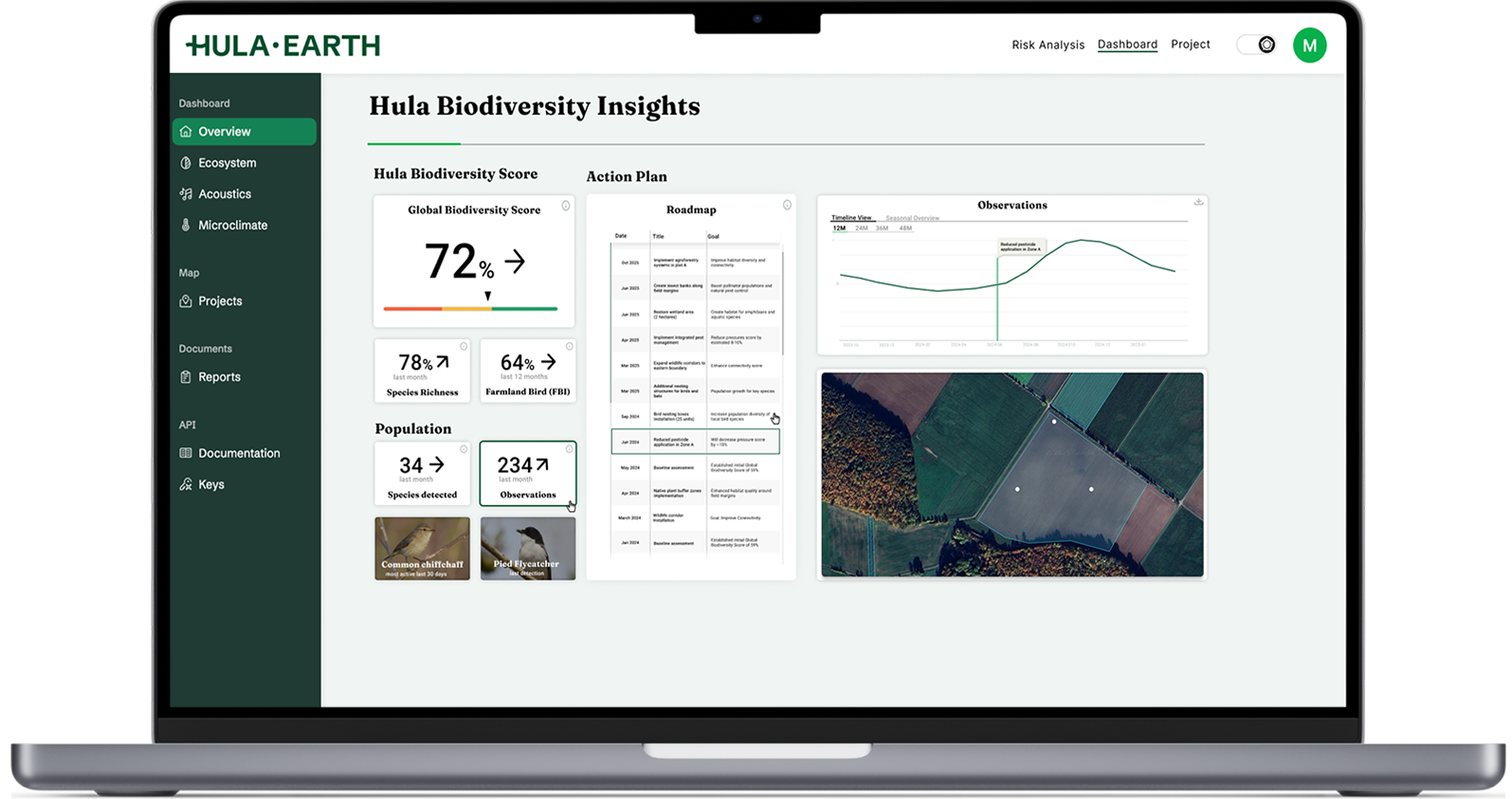
area under management by Hula
decline of wildlife in the past 50 years
nature funding gap

Industries
How we make nature data
actionable across industries
Whether in energy, agriculture, or conservation — we deliver biodiversity data that make projects measurably more successful.
Smart biodiversity for solar & wind parks
Making renewable energy
nature-inclusive
Stop treating environmental compliance as a hurdle and start seeing it as an asset. We enable the renewable industry to integrate high-functioning biodiversity into every project. The result? Faster permitting, optimized land use, and a dual-revenue model that maximizes the value of every acre.
Learn more
Naturland Zeichen GmbH x Hula Earth
Naturland and Hula make the value of biodiversity visible
Since March 2026, Naturland Zeichen GmbH and Hula Technologies GmbH have been working together to further develop approaches to measuring biodiversity and ecosystem services.
Our impact:
- Naturland’s “Für mehr Artenvielfalt” funding programme – one of the largest biodiversity initiatives in Germany and Austria, launched in 2023 – currently connects around 950 farms with processing and retail partners and supports 23,000 hectares of land.
- Hula contributes standardised sensor and satellite data to provide a data-based picture of ecosystem vitality within the programme.
- Both partners see the collaboration as a long-term development process to make the value of biodiversity more visible.

VI.P x Hula Earth
VI.P uses bird data to demonstrate the difference between organic and conventional farming
Together with Hula, VI.P uses automated biodiversity monitoring in apple orchards in the Vinschgau valley to show that ecological farming practices work.
Our impact:
- From 2030, certification standards such as GLOBALG.A.P.’s BioDiversity module require a growing share of land for biodiversity, up to 10%. For VI.P, that would amount to around 550 of its 5,500 hectares. The conventional approach would be to take this land out of production entirely: a yield loss of €13.75 to €16.5 million per year.
- Hula provides evidence that the cultivated areas already deliver this impact. The endangered wryneck, a bioindicator for ground-dwelling insects and low chemical use, was recorded on organic land. It was absent from conventional areas using crop protection products.
- These data are becoming the basis for communication with retail partners and certification standards.

Engie Green x Hula Earth
Bird migration-based wind farm control
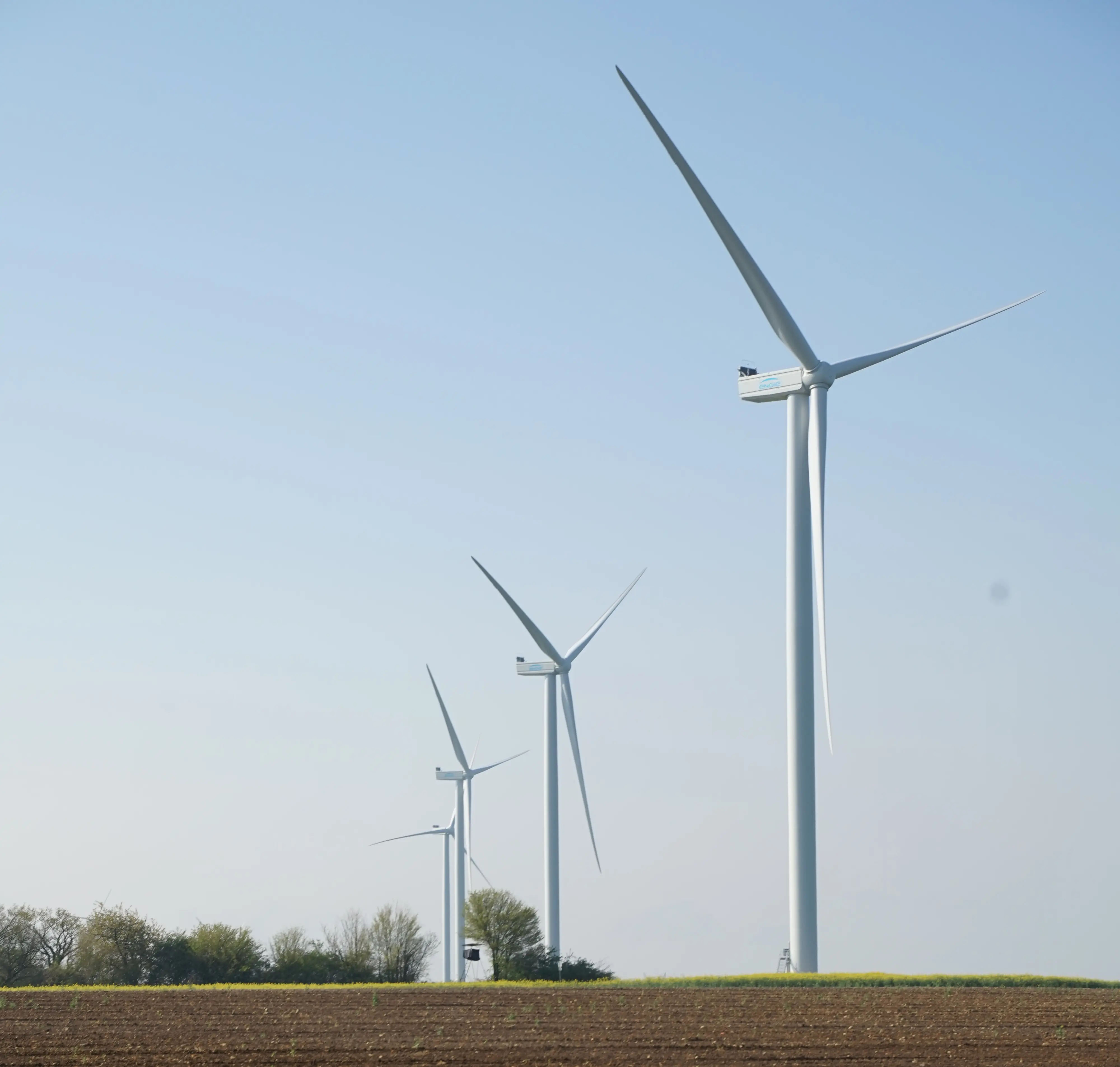
Automated nocturnal bird monitoring across 6 wind farms in France, replacing manual surveys with real-time IoT data.
Our impact:
- High-quality insights into nocturnal migration patterns
- Reduced curtailment through real-time turbine management
- Legal evidence for species presence supporting project approvals

Enerparc x Hula Earth
Automated bird mapping in solar parks
Onsite species detection with BioT sensors across 70 ha, a “state of nature” dashboard with reports, and a one-stop biodiversity solution.
Our impact:
- Increased asset value through biodiversity
- Prove of returned skylarks to meet legal requirements
- Nature-inclusive management through real-time data

STIHL x Hula Earth
STIHL measures the effectiveness of environmental measures across 20 ha with 49 species
At several international sites, STIHL uses automated BioT monitoring to evaluate existing environmental measures and guide their further development.
Our impact:
- 49 bird species and more than 6,000 detections were recorded at the example site in Waiblingen. Differences between ecological management zones and heavily sealed areas are clearly measurable.
- Around €42,500 in staff costs are saved per year and site because autonomous data collection replaces internal coordination and preparation.
- Specific measures such as nesting aids, insect hotels, flowering strips and orchard meadows are evaluated for their effectiveness at several international sites.
Metavolt x Hula Earth
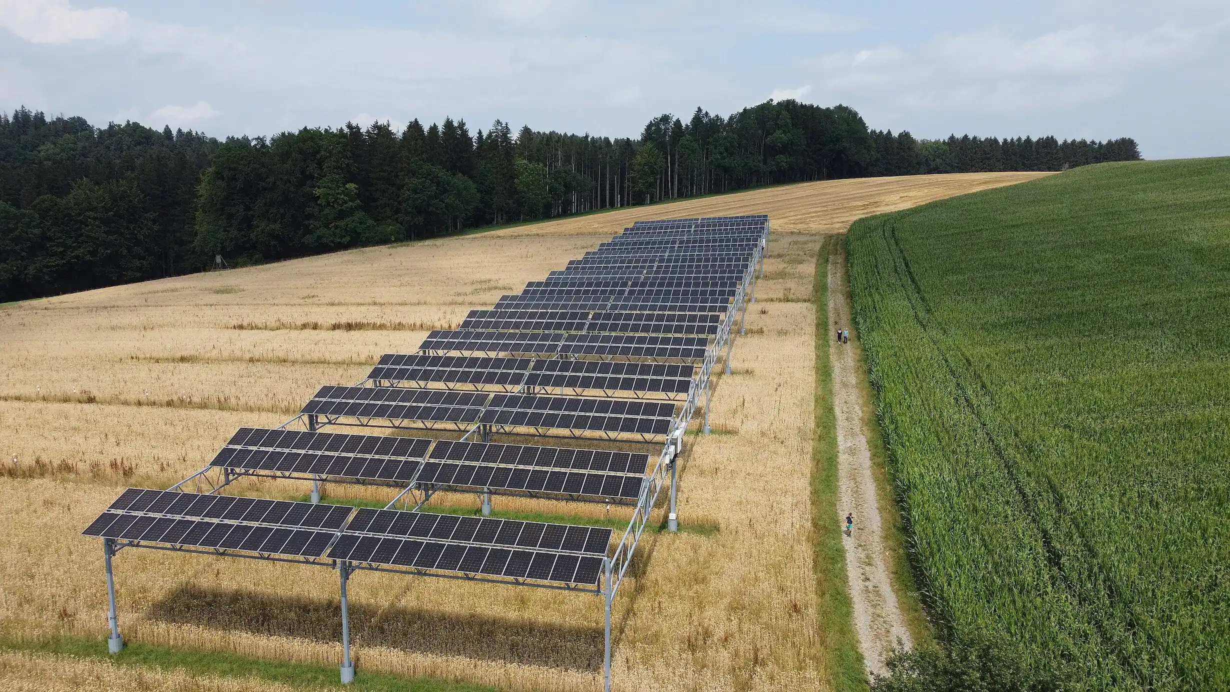
Improving Agri-PV planning through extended bird monitoring
Automated and extended bird monitoring on agricultural land in North Rhine-Westphalia to support the planning and permitting of an Agri-PV project through extended baseline data collection
Our impact:
- Identification and mapping of bird species across the project area
- Enabled an extended bird mapping period
- Supported flexible planning with cost efficient monitoring

City of Munich x Hula Earth
Munich urban jungle
Primary environmental data collection across the city of Munich with Hula BioTs and satellite data, complemented by citizen-science.
Our impact:
- Baselining the state of nature
- Unlocking data-driven decisions to support urban nature hotspots
- Cost-effective biodiversity monitoring for tight budgets

DKB x Hula Earth
Outcome-based compensation for biodiversity gains
Automated environmental monitoring across multiple sites in Germany to link measurable environmental gains to financing.
Our impact:
- Detecting landscape change and habitat degradation
- Turning biodiversity gains into financial value for farmers
- Tracking effectiveness of measures through species richness
Planet Wild x Hula Earth
Preserving Europe’s last primary forest
Biodiversity monitoring and real-time chainsaw recognition to protect 300 hectares of endangered primary forest in Romania from illegal logging and biodiversity loss.
Our impact:
- Scalable and automated biodiversity monitoring
- Real-time detection for illegal logging
- Unlocking EU funding by demonstrating conservation effectiveness
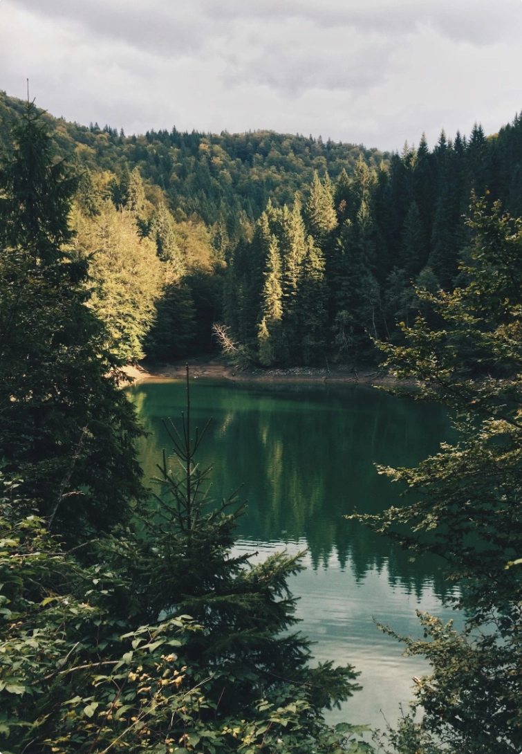

Wilderness International x Hula Earth
Satellite-based forest monitoring across global biodiversity hotspots
Continuous environmental monitoring across Canada and Amazonia using satellite data to track forest change, deforestation risk and other environmental indicators from 2020 to the present.
Our impact:
- Standardised monitoring of existing and new conservation sites
- Forest change, connectivity, biomass, and risk insights
- Evidence-based conservation planning with fire detection
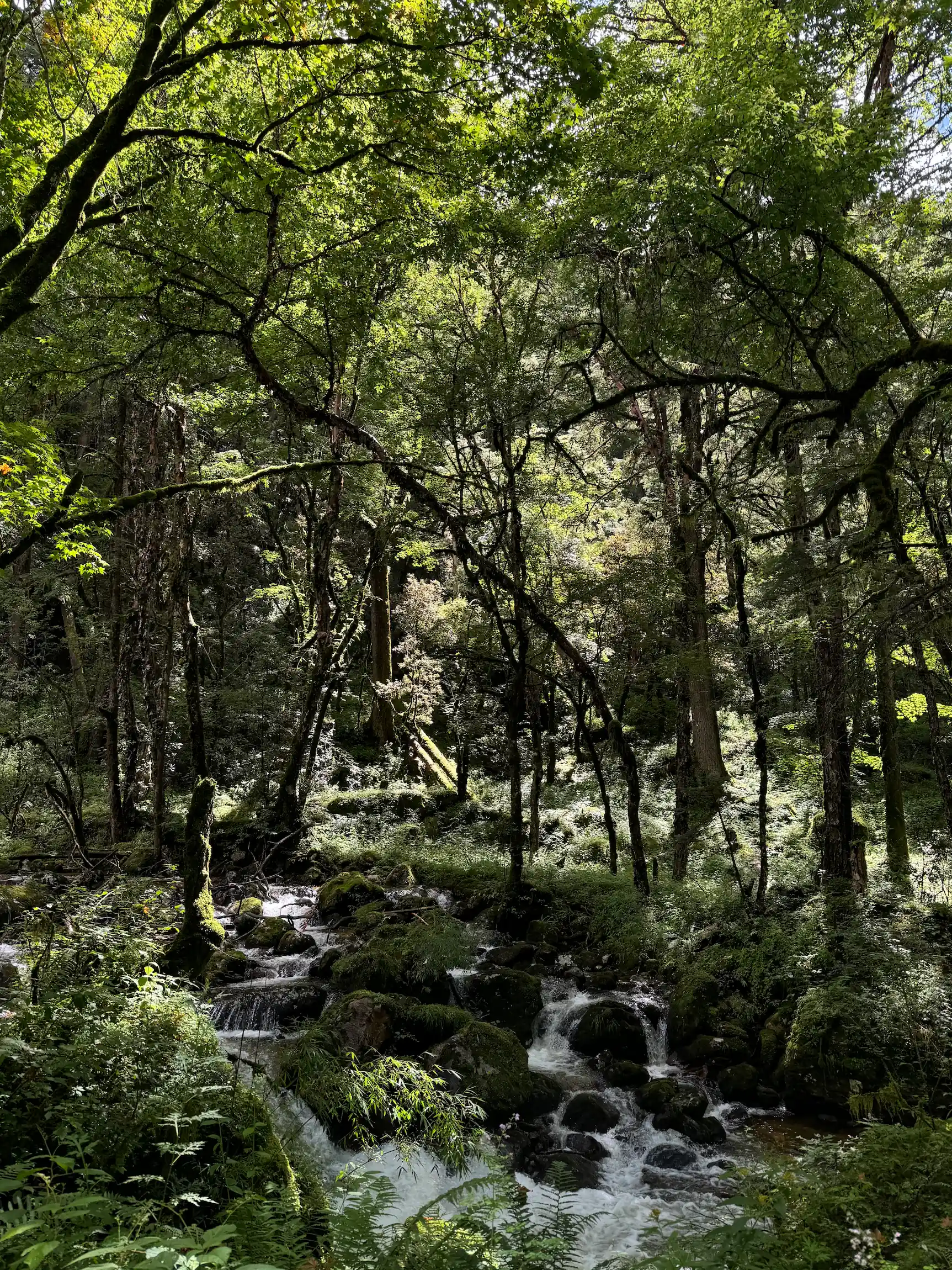
RATISBONA x Hula Earth
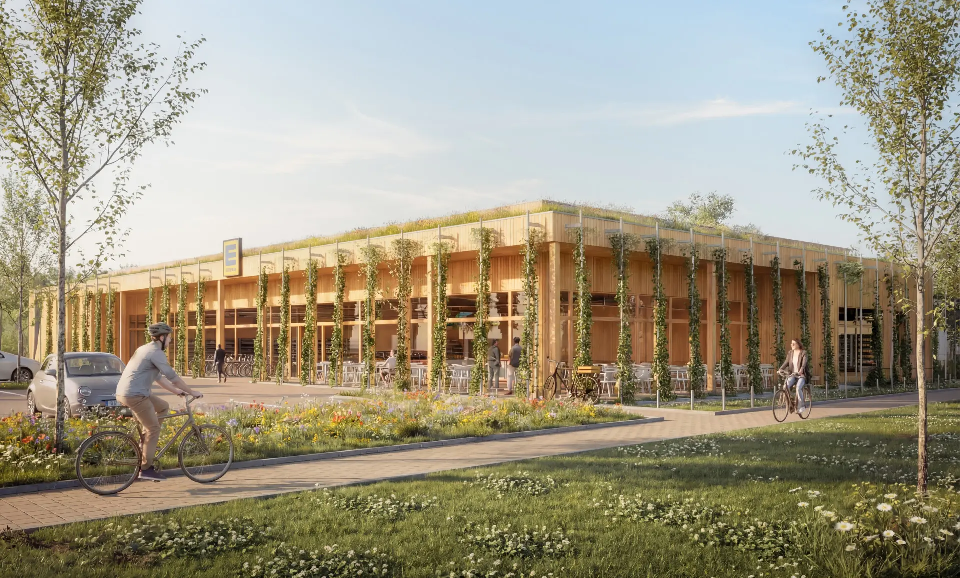
Europe's first supermarket developed according to cradle-to-cradle principles demonstrates biodiversity
With Hula, RATISBONA demonstrates at LOOP Markt Haimhausen that a supermarket's roof and outdoor areas can deliver real ecological value.
Our impact:
- Collecting and preparing the data manually with a half-time position per site costs an average of around €49,000 per year. Automated monitoring, as used by Ratisbona, eliminates this workload.
- On-site temperature and humidity measurements, rather than general estimates, make it possible to demonstrate the actual cooling and insulation effects of greenery at each site.
- Comprehensive, AI-assisted evidence makes the ecological net gain traceable.
Mast-Jägermeister SE x Hula Earth
Jägermeister makes biodiversity measurable along its supply chain - bird activity 6x higher than on the reference area
Together with Kiebitz, Jägermeister is implementing biodiversity measures across 212 hectares of wheat-growing land (~12% of the relevant area), with Hula sensors providing real-time evidence of their impact. Most of the land remains in productive use, complementing conventional approaches in which land is taken out of production entirely.
Our impact:
- Only a small part of the 212 hectares has actually been set aside. Hula’s sensors show the ecological impact of the measures on the remaining land. If a comparable impact were achieved solely through complete land set-aside, this would represent a yield loss of around €285,000 per year on the affected land.
- 57 bird species were recorded, with more than 12,700 individual detections in one spring. Activity is 6x higher than on the reference area.
- Continuous monitoring provides fresh evidence on an ongoing basis instead of relying on a single survey.
Connect with us today!
Select your interest:
We use cookies!
We use cookies to improve your experience.
By clicking "Accept", you agree to the use of cookies.
Customize