Hula forEnergy and Infrastructure Comply with conservation agency requirements and easily find appropriate mitigation sites.
Comply with conservation agency requirements and easily find appropriate mitigation sites.
Biodiversity in Energy and Infrastructure
Hula Earth provides the data foundation for biodiversity-conscious infrastructure development. By combining BIoT sensors and satellite imagery, we deliver precise, scaleable monitoring of species and ecosystem health.
This allows our clients to comply with faster and more easily with environmental agencies.

The Hula Platform for Energy and Infrastructure
Metrics and Indices
Species Reports (Birds & Insects)
Species Abundance
Earth-Observation insights
Landuse
Microclimate
Streamline Project Pre-Assessment
Faster data on your possible project sites
Reliable data for environmental agencies
Scalable assessment solution
Investor Transparency
Provide transparent and valid data on biodiversity
Reports for your investors
Monitoring of compensation areas
CSRD, SFRD
Pre-Assessment made Easy
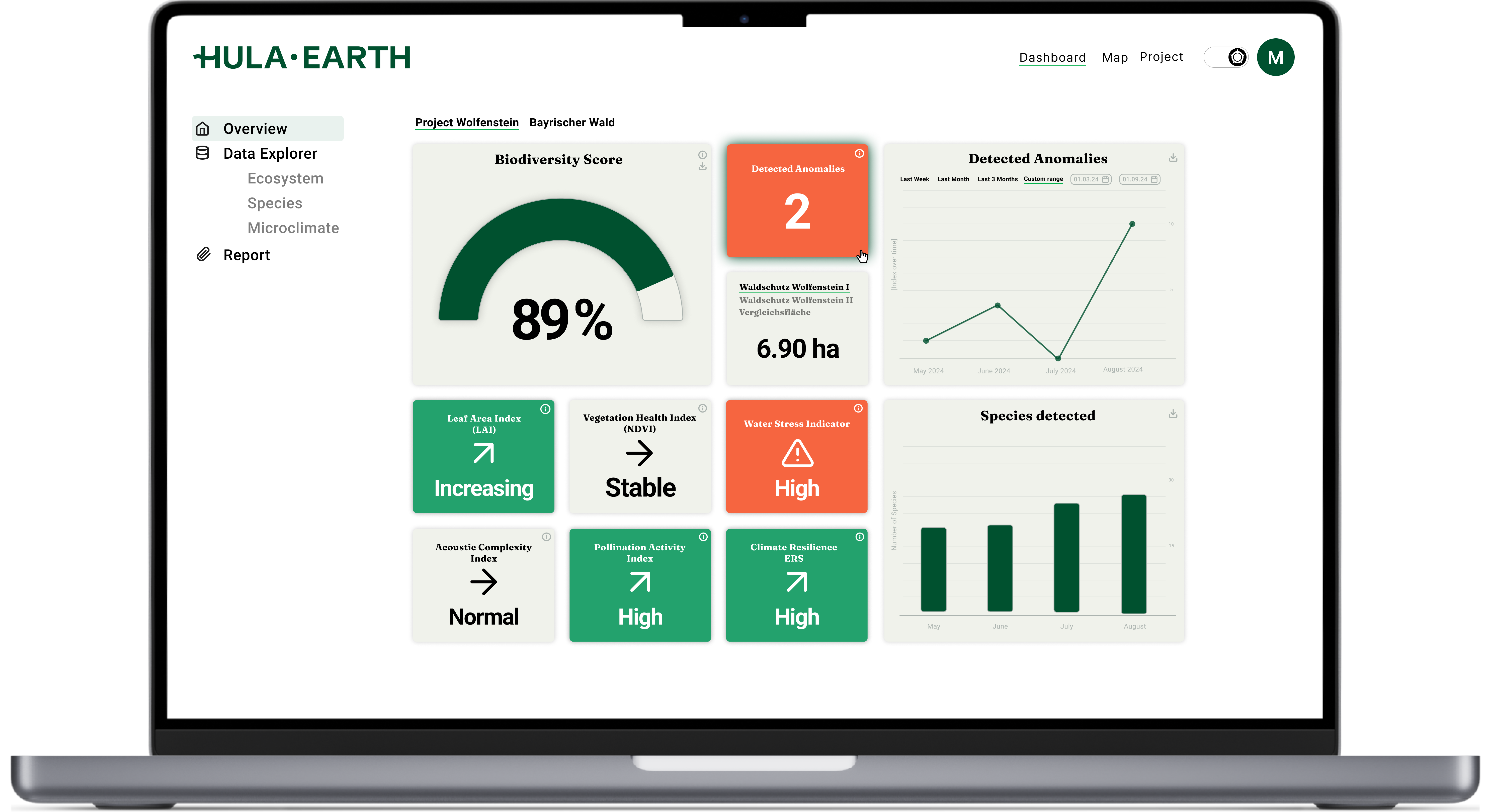
Realtime Report Download
Get your data at any time and download necessary indices, graphs and data reports.
 Hula Platform - Real-Time datapoints
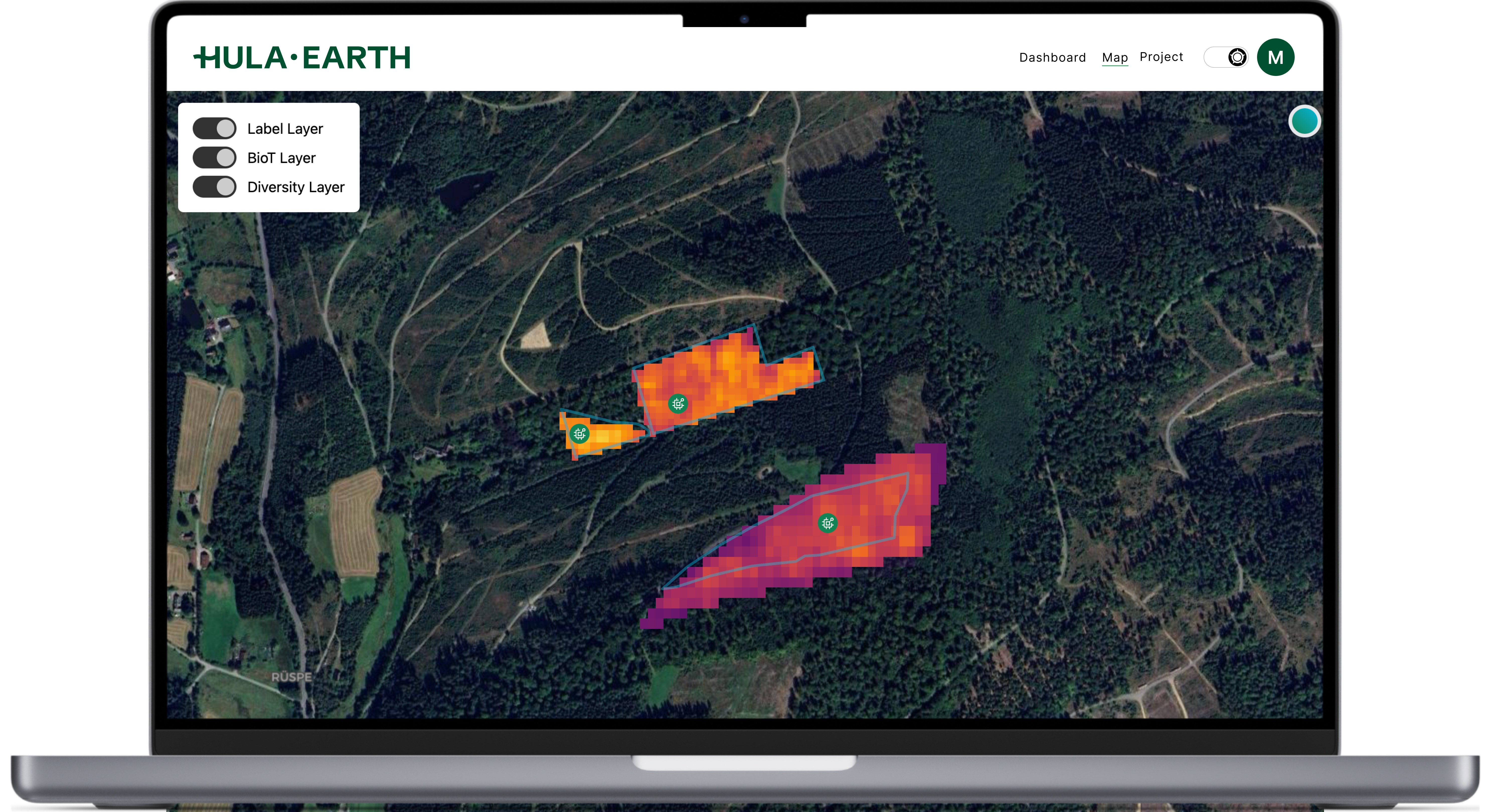
Asses Sites via Satellite
Assess your nature assets via the Hula Platform with satellite imagery and in-situ sensors (BioT-sensors).
 Hula Platform - Satellite view